Bay Area Bike Rides
The Bay Area is a perfect place for cycling. We have rideable weather all year, a vast array of terrain and scenery, and great cycling roads all over the place. We also have a transit system that allows bikes; the combination of BART and bike can get you to all of the best places to ride, car-free.
These routes are designed for riders of different backgrounds, ranging from serious racing cyclists to people doing fun rides for the first time in their adult lives. Each of the rides listed here starts and ends at a BART station, focused on Oakland, Berkeley, and San Francisco, with rides going through the East Bay, Marin County, and the Peninsula. Most have options for beginning, intermediate, and advanced cyclists, and the routes start off together, so everyone can peel off for their own ride. Do them in the order presented here as a training ride series, or just pick the ones that look fun.
The 2023 storms seriously damaged many of the roads featured here, including Redwood, Wildcat Canyon, Mines Road, and Mount Hamilton Road. Many of the others are encroached on by mud, rocks, and fallen trees, and a lot of new potholes have appeared. Bikes can usually get through the road closures, but if a repair crew is active, check with them before going through. And be careful on the descents.
See the Alameda County Public Works Agency web site for updates on most of the East Bay roads.
Rides
Happy Valley
Moraga, Canyon, and Pinehurst Road
Palomares
Bear Creek Road (The Three Bears)
Tour of Oakland
Mount Diablo
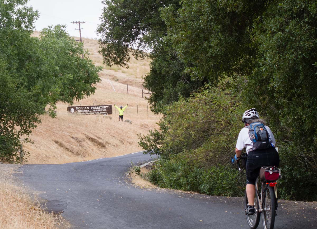
Morgan Territory
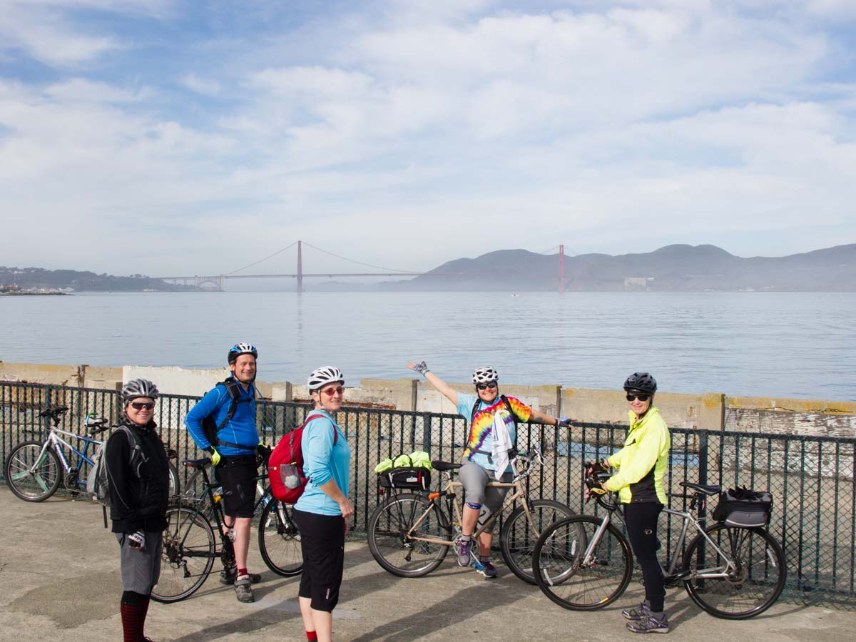
The Tiburon Loop
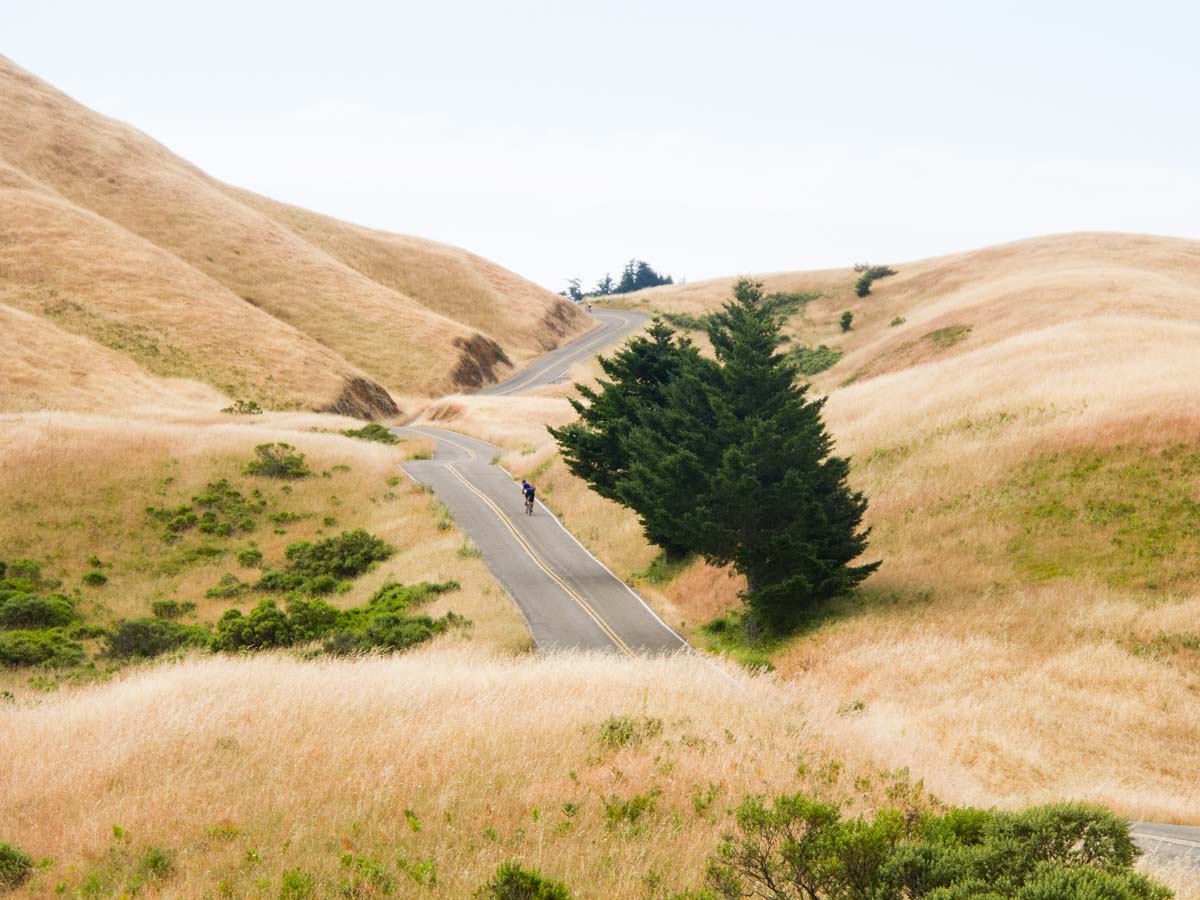
Mount Tamalpais
The Cheese Factory Century
The Berkeley Hills Death Ride
Tunitas Creek Road
The East Bay Dead End Tour
Mount Hamilton
If you have a paid membership for the RideWithGPS app, you can use these routes for turn-by-turn directions, or, download the .TCX or .FIT files and import those into your favorite nav tool.
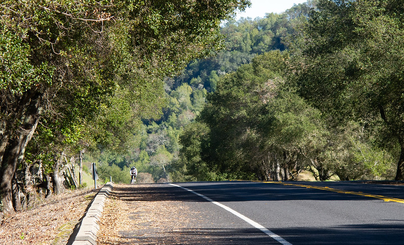
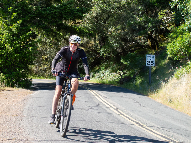
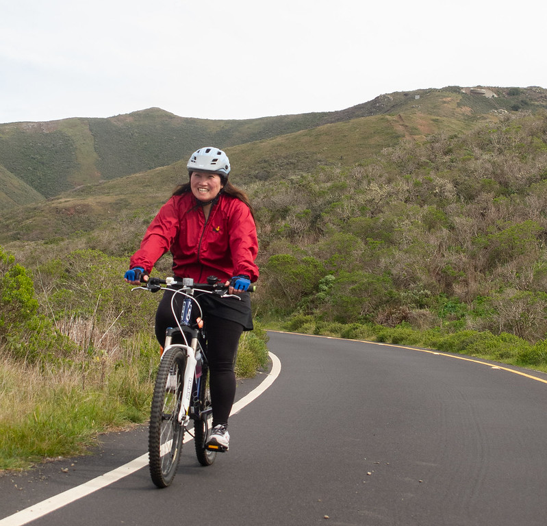
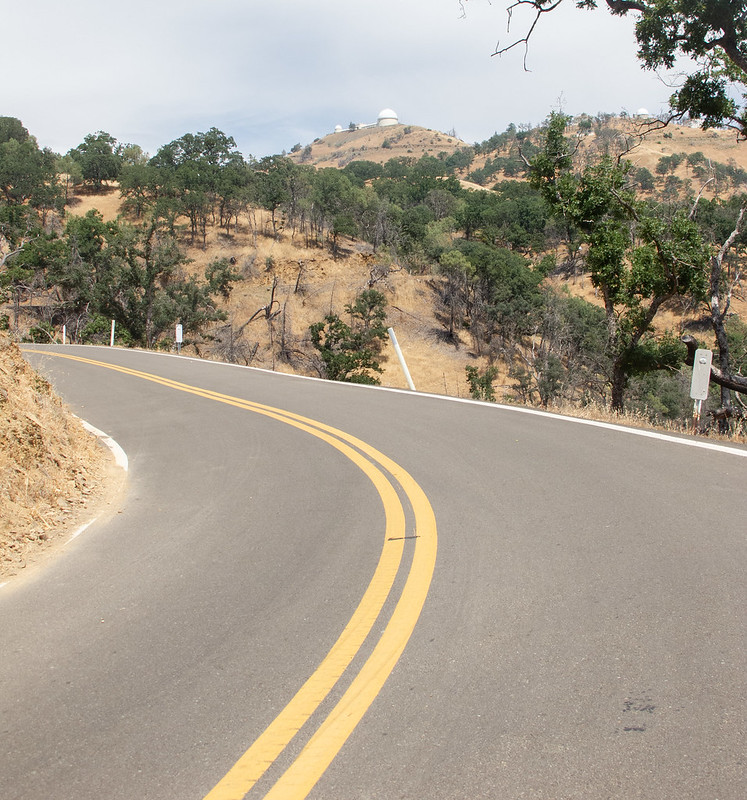
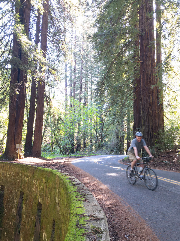
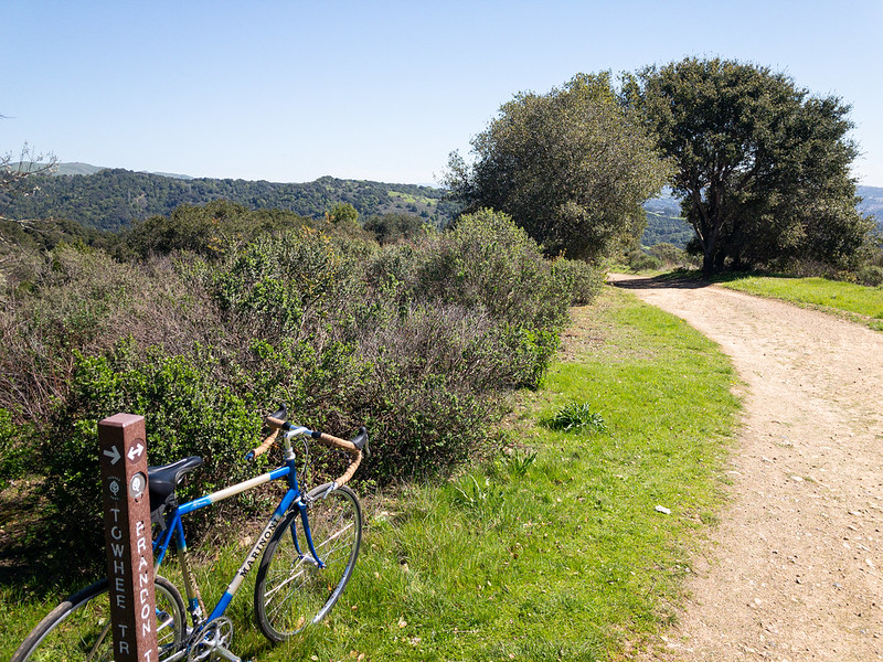
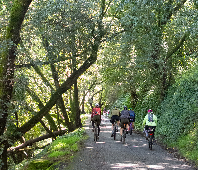
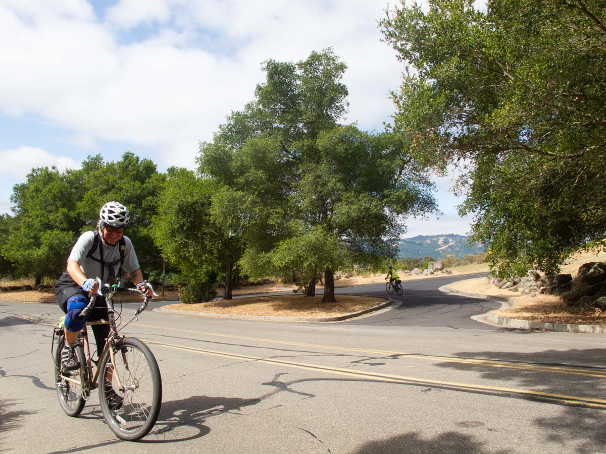
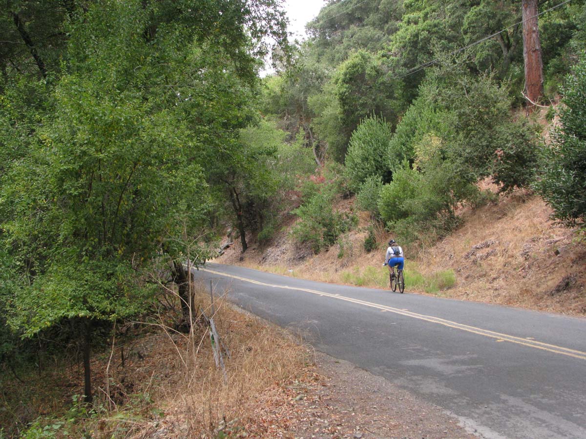
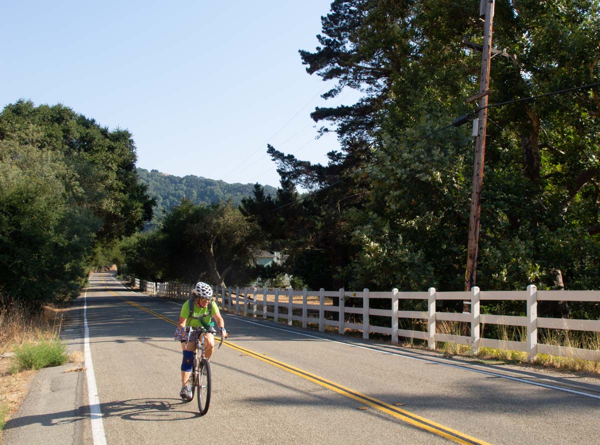
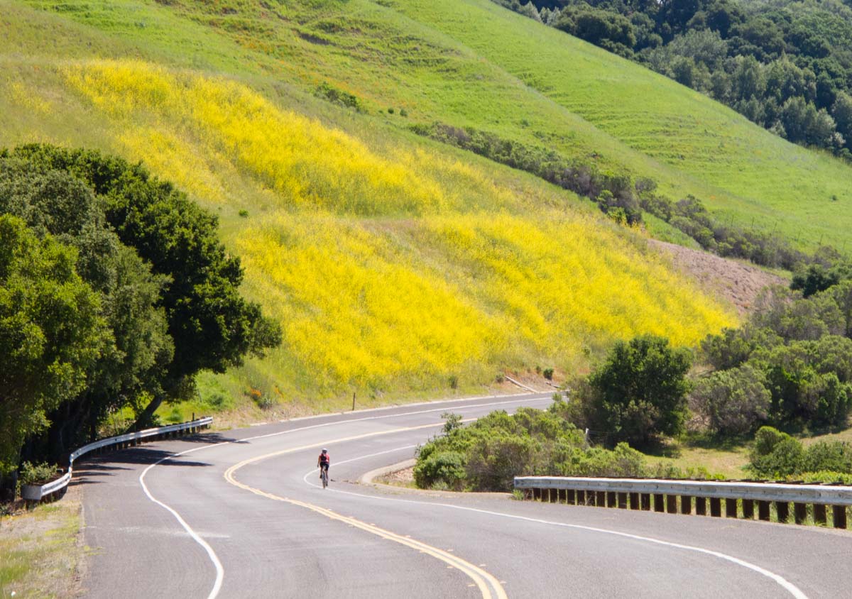
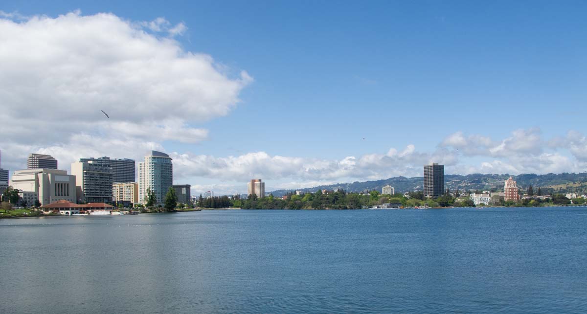
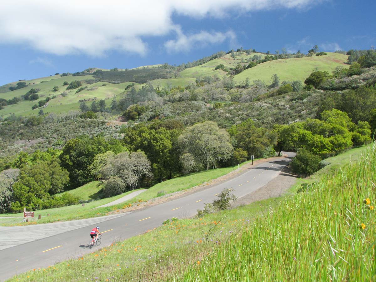
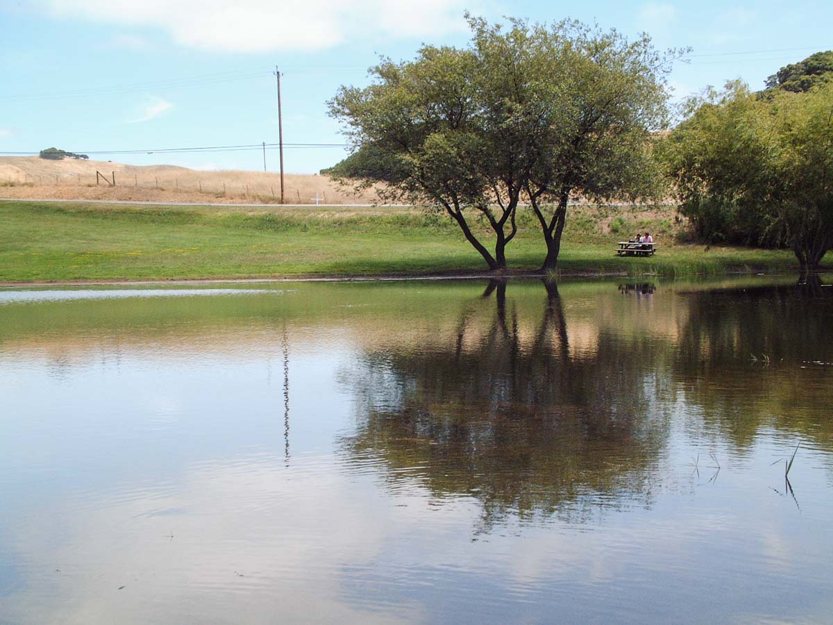
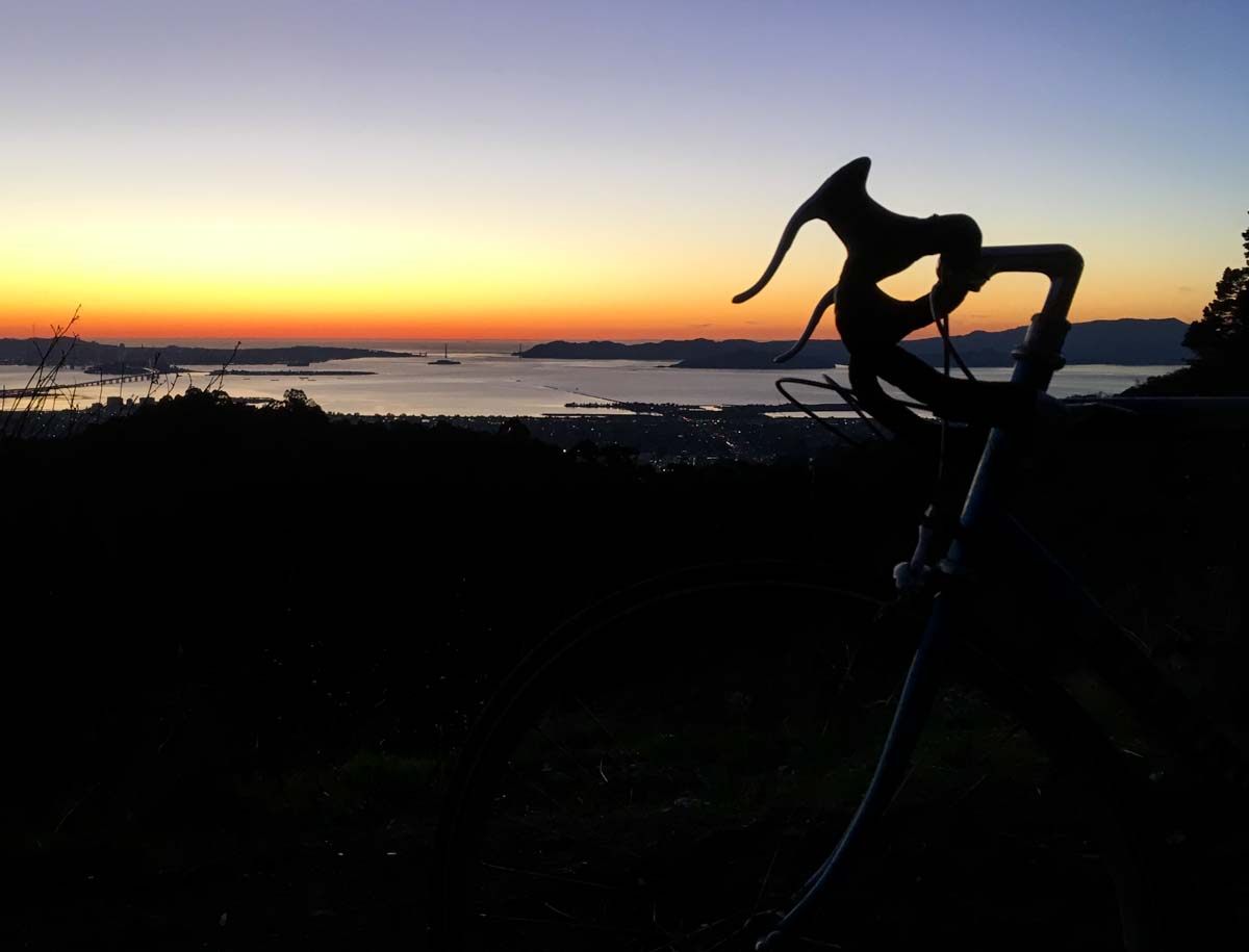
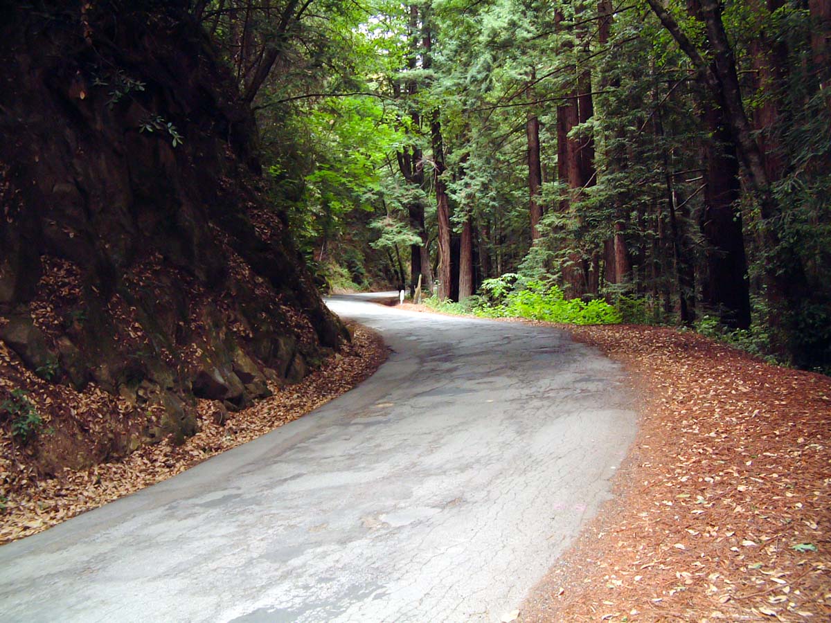
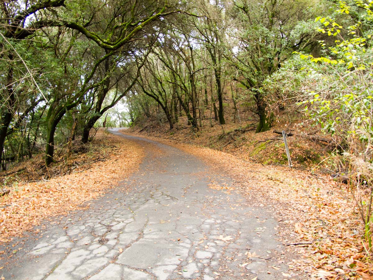
Photos