Happy Valley
This is a nice easy ride for the late winter or early spring. The beginner’s ride is your-granddad-could-do-this easy, and the intermediate and advanced are good starter rides for people hoping to move up to more strenuous rides later. Both the intermediate and advanced rides feature the Papa Bear climb and the long Pumphouse Hill descent on Bear Creek Road. Traffic and civilization levels are moderate.
Route Maps
Beginner’s (11km)
Start: Orinda, End: Lafayette
Intermediate (19km)
Start: Orinda, End: Orinda
Advanced (31km)
Start: Orinda, End: Oakland/Berkeley (Rockridge)


Road notes
Foot paths/Orinda Way (all rides)
Getting out of the BART station is a little tricky; take the narrow ramp to your right when exiting the station, and then get on the foot bridge over the freeway entrance (not the footpath that goes under the freeway). After the foot bridge there’s a slightly awkward turn off the sidewalk onto Orinda Way.
Miner Road/Lombardy Lane/Dalewood Drive/Sundown Terrace (all rides)
Miner is a pretty road by the golf course, which usually has some traffic until we turn off on Lombardy (just before Miner goes up a hill to the right). The rest are quiet residential roads. The turn onto Sundown Terrace has a gate as the route goes through a small park. There’s a short, steep climb at the end of Sundown.
Happy Valley Road (all rides)
To the right, Happy Valley coasts downhill to Lafayette BART. To the left, it has a steep, twisty climb, usually with bad pavement, followed by a steep, twisty descent, usually with bad pavement. It’s fun, but be careful. There’s one hairpin on the descent marked as 10MPH; slow way down for that.
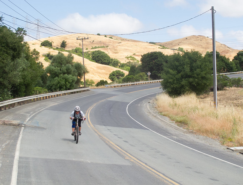
Bear Creek Road (intermediate/advanced rides)
Bear Creek Road is one of my favorites. It’s wide, well-paved, has little traffic, and is very pretty. Happy Valley Road hits it between Mama Bear and Papa Bear (the two main hills). The hill starts as soon as we turn, and kicks in in earnest around the time we get around the first bend. It’s a very straight 7% grade and about 1.5 km long. There’s no shade so be wary of overheating and drink lots of water. After the peak the road dips for a bit, then climbs again to about the height of the first peak, then drops into one of the best gonzo descents in the area. There’s no traffic, no turns that require braking, and a nice view. I usually find myself shouting something similar to “whoop!” somewhere along this hill.
Eventually the descent flattens out, then the road ends with a short, steep climb (“Baby Bear”).
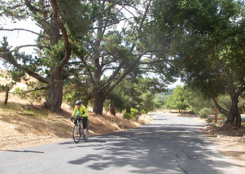
Wildcat Canyon (advanced ride)
Wildcat Canyon Road is a wooded climb up to Tilden Park; the hill is fairly steep and winding. After about 1.5 km the hill lets up and you get some nice views of the hills you’ve conquered today. Stop at Inspiration Point at the peak. After Inspiration Point, the road rolls along the top of the ridge for a while; don’t miss the turn for South Park, which is on the left during a right-hand downhill turn.
South Park (advanced ride)
South Park is the fastest descent in the East Bay; the top part has curves but isn’t twisty enough to slow you down, and then you can blast out of the last turn into the steepest part of the descent, a straightaway near a parking lot. 88kph is possible.
Today, though, you are going the opposite direction. This climb is one of the featured hills of the Berkeley Hills Death Ride. The climb starts out fairly easily, then gets rather steep around the end of the straightaway. 200 meters total climb but it feels like more.
Grizzly Peak/Claremont (advanced ride)
The rest of the ride is a fun, twisty descent through Claremont Canyon. There’s usually some traffic on these roads, but you’ll probably outpace it. There are two steep hairpins on Claremont that you should be careful about.