
Climate Ride GAP/C&O Canal 2025
Introduction: Climate Ride GAP/C&O Canal
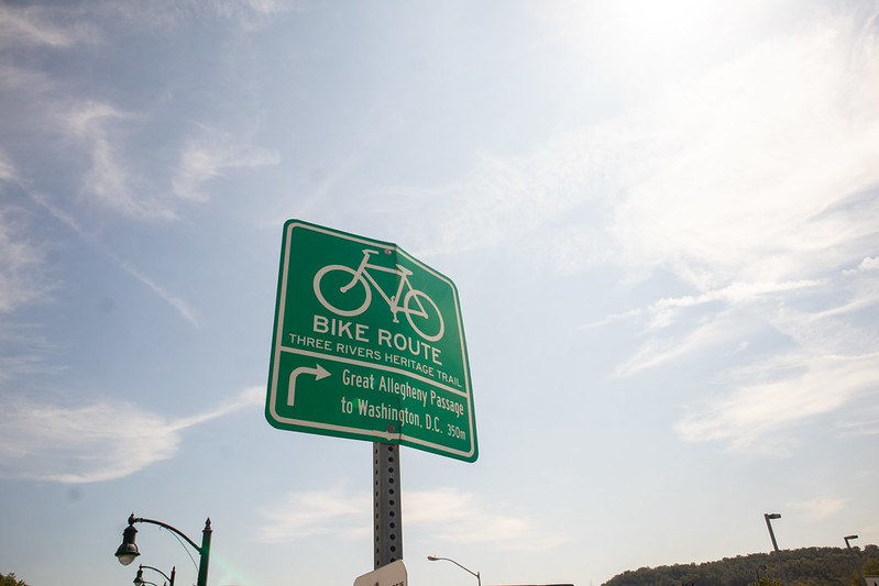
GAP/C&O has become one of the premiere bike touring destinations in America; the GAP estimates over 1M annual visitors, and over 100K through riders, while the C&O Canal Towpath estimates 5M annual visitors, putting it in the top 10 among national parks. A bunch of friends have done or are planning to do it, and it's easy to see why; it's 95% off road, 90% on gravel, all rail-trail or canal path, so it's pretty much all low-stress and easy riding.
Climate Ride's plan had us doing the 340 miles in 5 days, which is more daily mileage than I'd usually plan, but it is pretty easy to make time when there are no intersections. We'd do two days of very gradual climbing up a rail grade to the eastern continental divide, then three days of very gradual descending on the tow path into Georgetown. Totally Doable!
Day 0+: Rolling around Pittsburgh
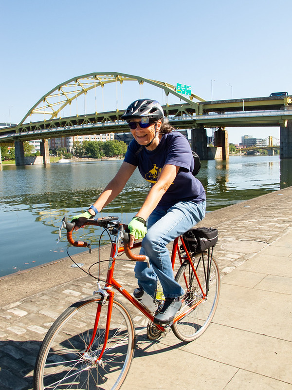
We had a couple of days to kick around in Pittsburgh before the official trip, and got to spend it riding around with a local friend and then with our friend Beverly, seeing the sites and finding the cool bike spots in town.
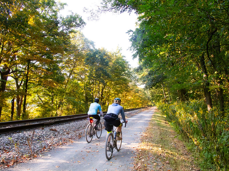
Day 1: Pittsburgh to Connellsville
We met the group at Point State Park for orientation and bike outfitting. The weather was great and there were lots of people out in both directions.
Day 2: Connellsville to Frostburg
It was going to be a long day. We were given the option to take an extra 15km side trip with 400m of climbing to go visit Frank Lloyd Wright's masterpiece, Fallingwater. Extra distance, a good climb, and architectural geeking? I'm in. Nancy and Beverly wanted to visit Fallingwater, but were intimidated by the distance, so their plan was to take the shuttle to the first water stop at the base of the climb and ride from there. I, of course, wanted to ride the whole thing.
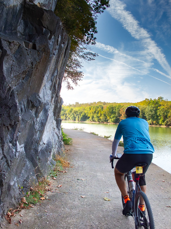
Day 3: Frostburg to Hancock
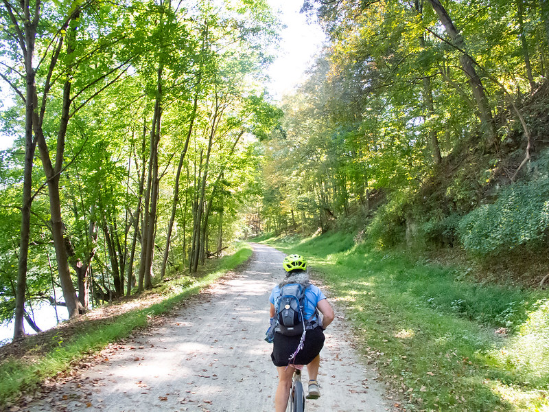
Today we'd finish the last part of the GAP Trail in Cumberland, and start the C&O Canal towpath. We’d heard that the C&O wasn’t as well developed as the GAP Trail, but this portion was more or less the same crushed gravel that we’d been riding. This high up, the canal is mostly dry with occasional ponds with turtles and lily pads.
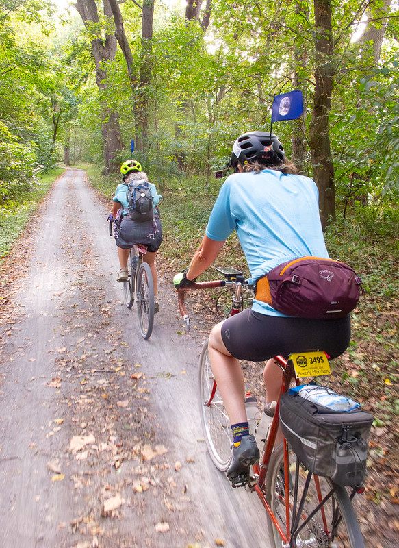
Day 4: Hancock to Harpers Ferry, WV
Today would still be over 100km, but all downhill; perhaps our easiest yet. The big question was the trail surface. If it would be like the end of yesterday, it could be a long haul.
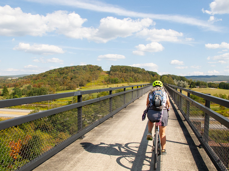
My goal in the morning was to get out ahead of the group so I could be sure to get pictures of everyone, and ideally ride with them too.
Day 5: Harpers Ferry to Washington, DC
The final day's ride plan was just 99.4km, all downhill. Totally Doable! We had cloud cover and some possibility of rain as we headed into the more populated end of the trail.
Climate Ride GAP/C&O: Conclusion
The GAP/C&O trip is one of the most popular bike touring routes in the country, and I'm glad we got to do it. It hits a lot of the points in my Cycling Joy index, and in particular, the ability to ride next to a companion and have an extended conversation is really enjoyable and relaxing. For me, though, this kind of riding lacks some of the things which draw me to bike touring.