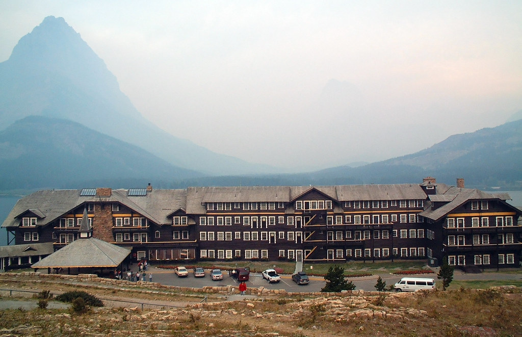
Day 3: Many Glacier to Waterton
The third day began in a much more rational fashion (that is, after daybreak). The plan was for an easier day, just a quick jaunt back out to US 89, then across the Canadian border to Waterton. As usual, I was the last one down to breakfast and the last one on the road. Before I headed out I made a couple mechanical adjustments, one to the derailleur cable that had given me trouble on the first day (replacing it with an extra from Timberline’s toolbag), and one to the rack screw that had given me trouble the previous day (which required the uber-tool–5″ vise grips–to tighten properly).
While I fixed my mechanical problems, Suzanne tried to deal with her anatomical problems. Not that there’s anything wrong with her anatomy–it just wasn’t accustomed to long days in the saddle. Julie swapped out her bike seat for one that at least would put pressure in different places.
The morning was hazy and smoky. Without the sun shining through the smoke, the landscape didn’t look as foreboding, but there was still a tinge in the air and a twinge in my lungs. I took the gradual descent slowly, stopping to take pictures of the ospreys (I saw one catch a fish!), talk with Julie (she had the van today) and looking in the woods where my bear had appeared the day before, hoping to catch another glimpse. Alas, it was not to be.
There was little traffic, and the rolling, open road along Sherburne Lake got me thinking about a line from “Paradise by the Dashboard Light”:
This song happens to be the one I used to play on the jukebox every time I went to the Whippany Diner, which in my teenage years was practically every night. It remains to this day as one of my favorite “guilty pleasure” songs. This led to a conversation with Mark and Suzanne about what cheesy, low-brow songs they still can’t resist. We all got cheesy, low-brow songs stuck in our heads for the next two hours.
The northward turn out of the Many Glacier valley thankfully brought us out of the smoke. At the turnoff for Big Chief Mountain Highway I stopped at a gas station to use the facilities. The restrooms were a step up from a hole in the ground, but only a small step. Still, there was a sign saying “Restrooms for customers only,” so I had an excuse to purchase and eat a roll of chocolate frosted donettes. (Speaking of guilty pleasures).
Big Chief Mountain Highway gains a couple hundred meters of altitude to give you a better view of Big Chief Mountain. I caught Suzanne early on, and Mark near the top of the climb. The van was stopped at the top; we took the opportunity to take photos and victuals. From the top of the climb to the Canadian Border, it rolls through free range land.
In the Bay Area, cattle loose on the road could be the highlight of a ride; in Montana, it’s a huge disappointment. I’d hear a crashing in the brush and see a big black form and immediately think, “awesome, a bear!” Cows are fine animals (especially ground up and on a bun), but they’re not in the same league as bears in terms of wildlife sightings. I experienced this disappointment several times before the Canadian border.
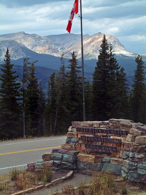
I caught up with Nancy shortly before the border. We rolled downhill to Canadian customs and waited in a short line there. Since this was before 9/11, we managed to sneak through with our Swiss army knives and toenail clippers. We had a picnic set up on the other side–there are no establishments along Big Chief Mountain Highway. We had sandwiches, juice and Oreos while we took pictures at the Waterton National Park sign. (Waterton is the Canadian side of Glacier National Park. Canada is a different nation, you know).
After the picnic, we started to see scary-looking clouds heading our way from the north. Riding in the rain sucks, even on a supported lodging tour, so Paul and I went off the front and drafted off each other as we cranked along the Canadian side of the highway. Right after the border there was a wide-open, fast descent, where I hit what would turn out to be my highest speed of the trip—73kph, wimpy by Bay Area standards, but slightly above where my 53×12 spins out. The run-out led to a lot of big-ring grinding, and eventually I dropped Paul. (Or else he “stopped to take some pictures”). The clouds kept looking worse, so I kept hammering, and made the turnoff to Waterton Townsite after only a couple of drops of rain.
In fact, I’d been hammering so hard that I’d beaten the van to the official entrance to Waterton. That meant I had to argue with the girl at the kiosk for a bit before she let me in without paying—charm and good looks paid off again.
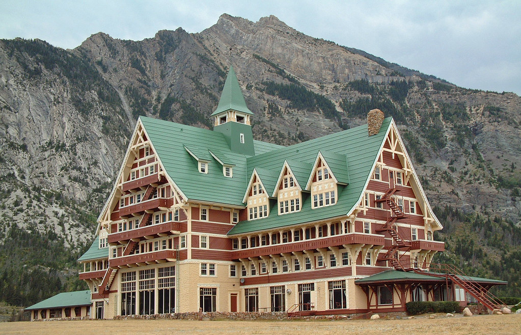
On the approach to Lower Waterton Lake I got my first glimpse of the audacious Prince of Wales hotel. All alone on a bluff overlooking Waterton, it looks like some sort of accessory for Canadian Mountie Barbie. And it gets more audacious the closer you get; I arrived ahead of the van and spent some time just gawking. Showing up early has its advantages—I got the coolest room in the place, the top floor slant-roofed L with south (lake) and west (mountain) views.
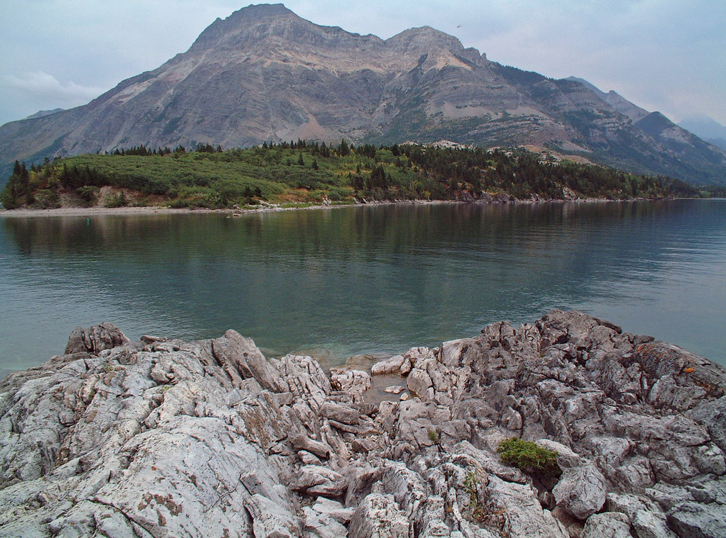
I took photos as I hiked down the ridge to the rocky beach, then walked into Waterton to seek an Internet cafe. (I was now four days without e-mail, and beginning to twitch). I was to be disappointed, but Waterton was a quaint town with interesting shops. I returned to the hotel, but came back into town with Julie and Nola once they had gotten everyone settled. Nola introduced us to Dare Maple Leaf Creams, apparently some sort of Canadian delicacy. She bought a box for Nancy, who generously shared them with the group. (They were good in an un-American way).
We had dinner at the Prince of Wales, which got mad props for dessert (chocolate mousse crepes, mmm), but dissed us on water refills. A note to any restauranteurs out there: if you have a bicycle touring group at your restaurant, keep bringing the food, and keep refilling the water. Thank you.
When I went out at dusk for some more photos, the wind had kicked up enough to threaten to blow over my tripod, and to bring in some smoke from the fires. I decided to wait for better conditions, and retired to my room to rest up for the big day tomorrow.
| Day 3 | Cumulative | |
|---|---|---|
| Average speed: | 23.9 kph | 22.9 kph |
| Distance: | 79.9 km | 253 km |
| Climb | 832 m | 2544 m |


